THE "PUMPOUT NAV" APP
Important to Know in California
“Pumpout Nav” is free to download at the Apple App Store or Google Play. It will show the location of the nearest marine sewage pumpout, dump station, and floating restrooms. When using the app, a pumpout will appear on your device’s screen as a green marker. When you tap on the marker, the station will display “operational,” indicationing it is open and working normally.
With the app, the recreational boater is empowered to report any problems with the pumpout stations. The app makes reporting problems simple, easy, and intuitive. All you have to do it to click on the “sad face” symbol to report that a pumpout is not working and the app will report that immediately and in real-time. There is also a number of other “press and report” icons, including “no power,” “low vacuum,” “leaking,” “broken parts,” and “no access.” The app also allows you to enter a description of the problem and upload photos from your phone
In addition to the app providing pumpout locations, it also provides additional boater information and marina tracking access. You can obtain costs and open hours, the exact location of the pumpout within the marina, and access to information such as guidance on how, where and why to use the pumpout station. When marina operators use the app, they can report and track pumpout usage information and update the information themselves
There are now well over 200 boating facility locations and 240 pumpout stations currently being reported on the app. The app was created by the California State Parks Division of Boating and Waterways’ (DBW) Clean Vessel Act (CVA) Program. The location of harbors near us in Ventura County California, with public access pumpout stations are listed below
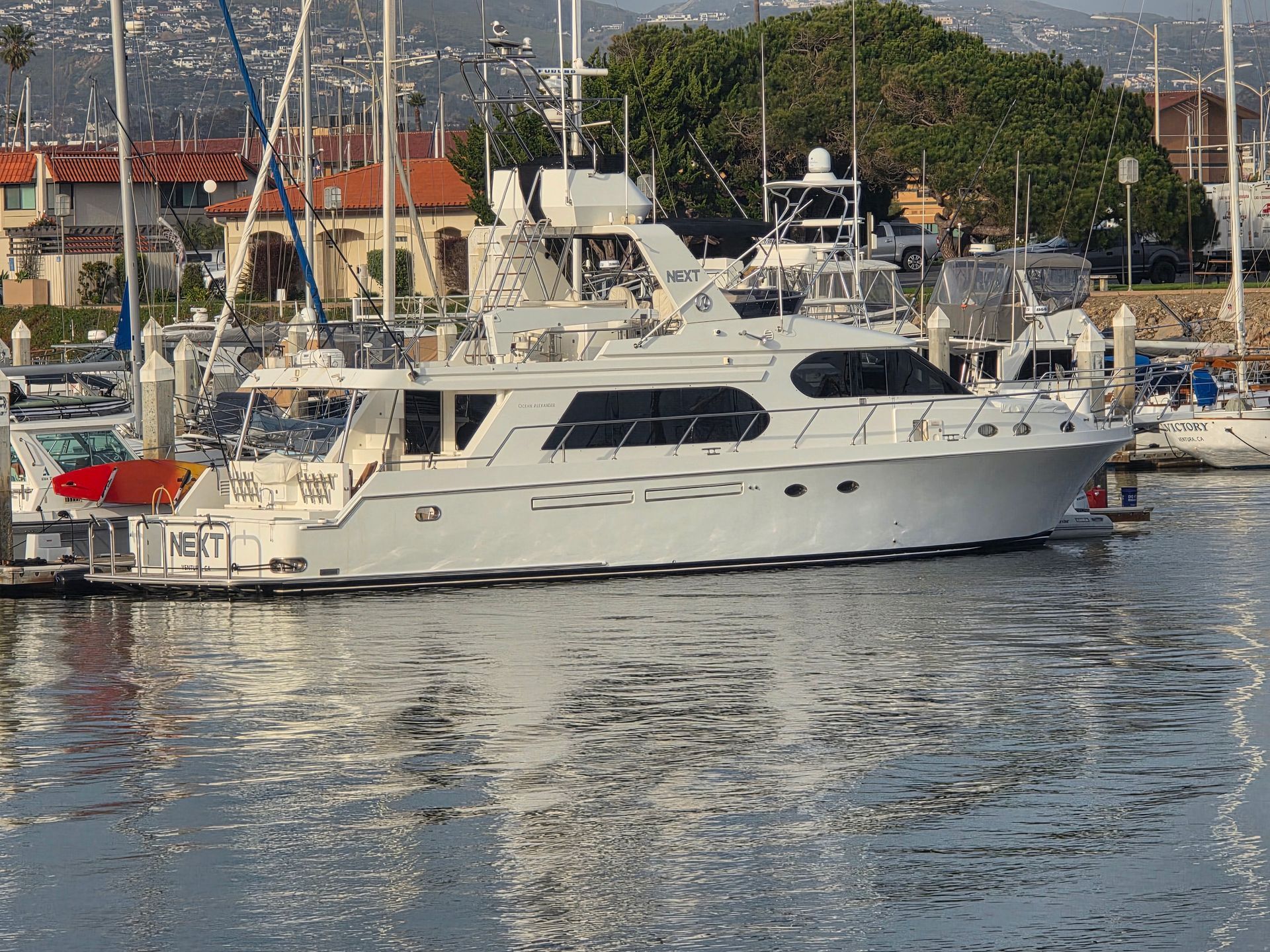
Ventura County
You might also like
Southern California Boating Blog